
Maps

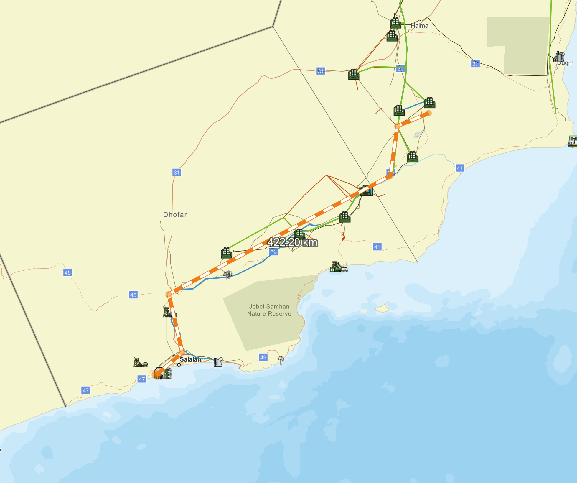
The Energy Year GeoMaps: Oman

495.00

Features

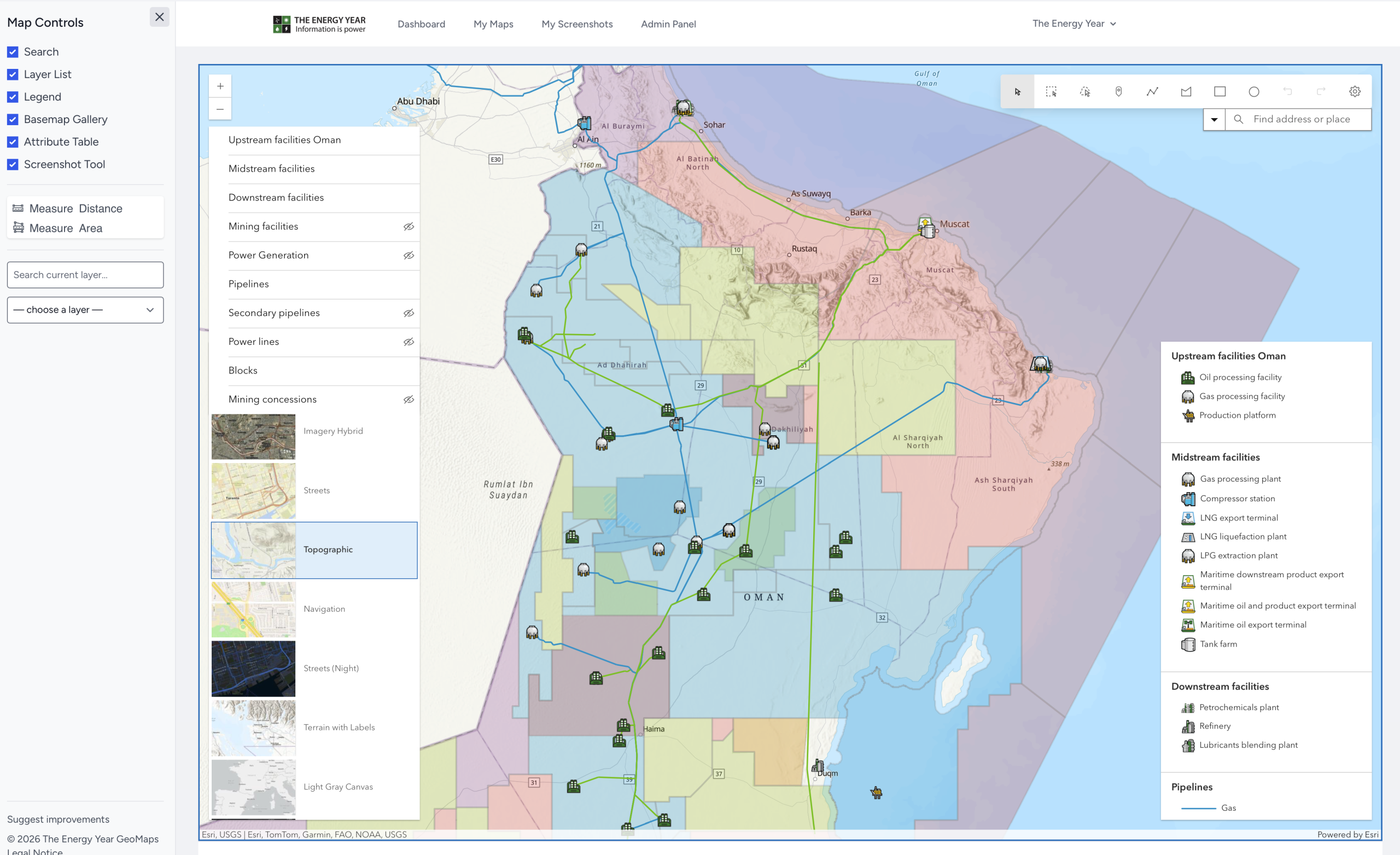
  • Oil, gas, thermal, solar, mining and wind assets
  • Switchable layers
  • Hundreds of clickable objects
  • Choose from dozens of base maps
  • Zoom to selected items for easy navigation
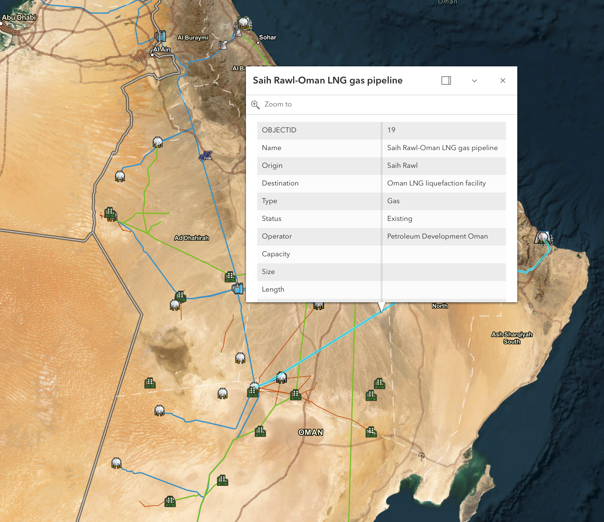
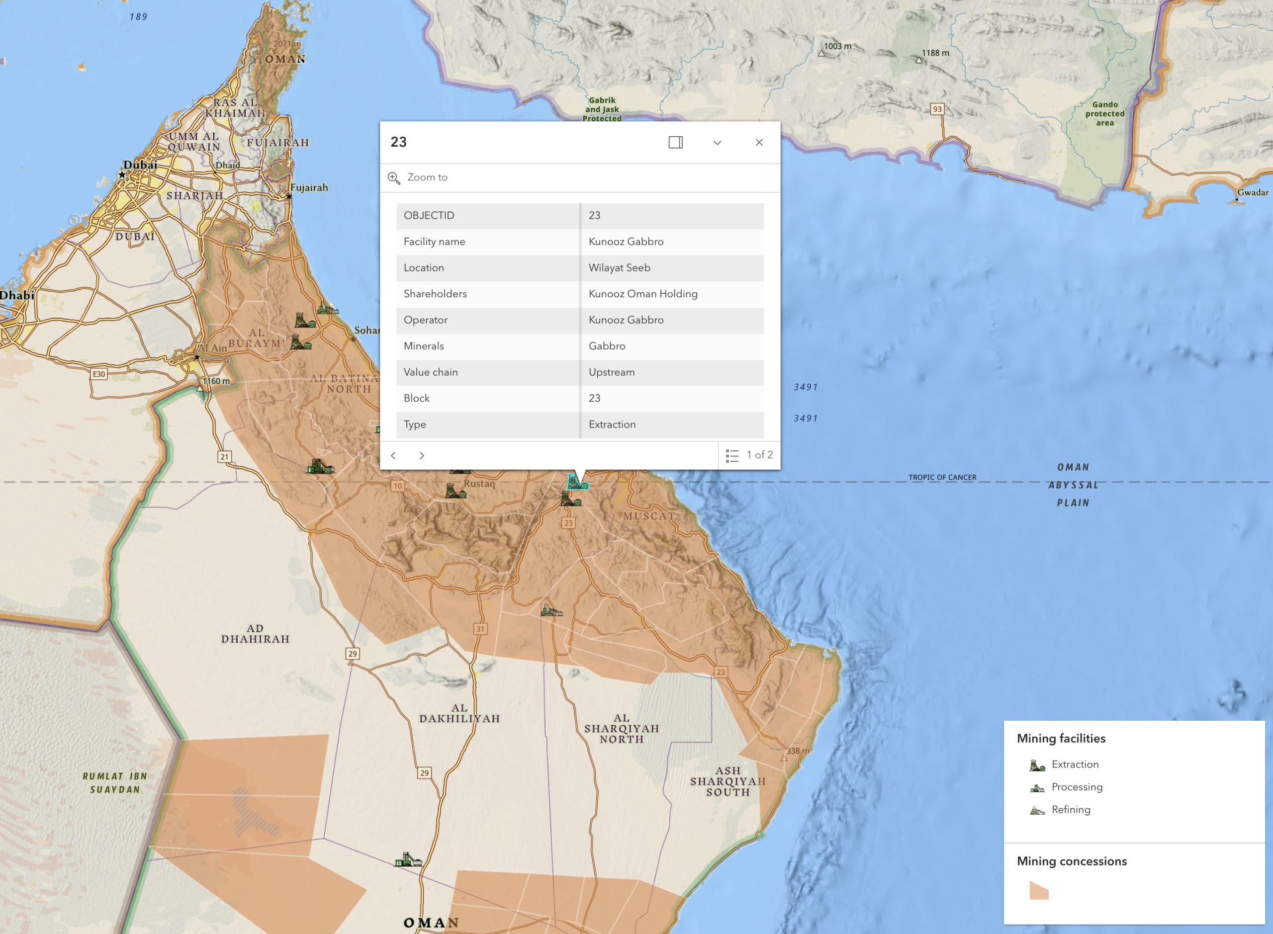
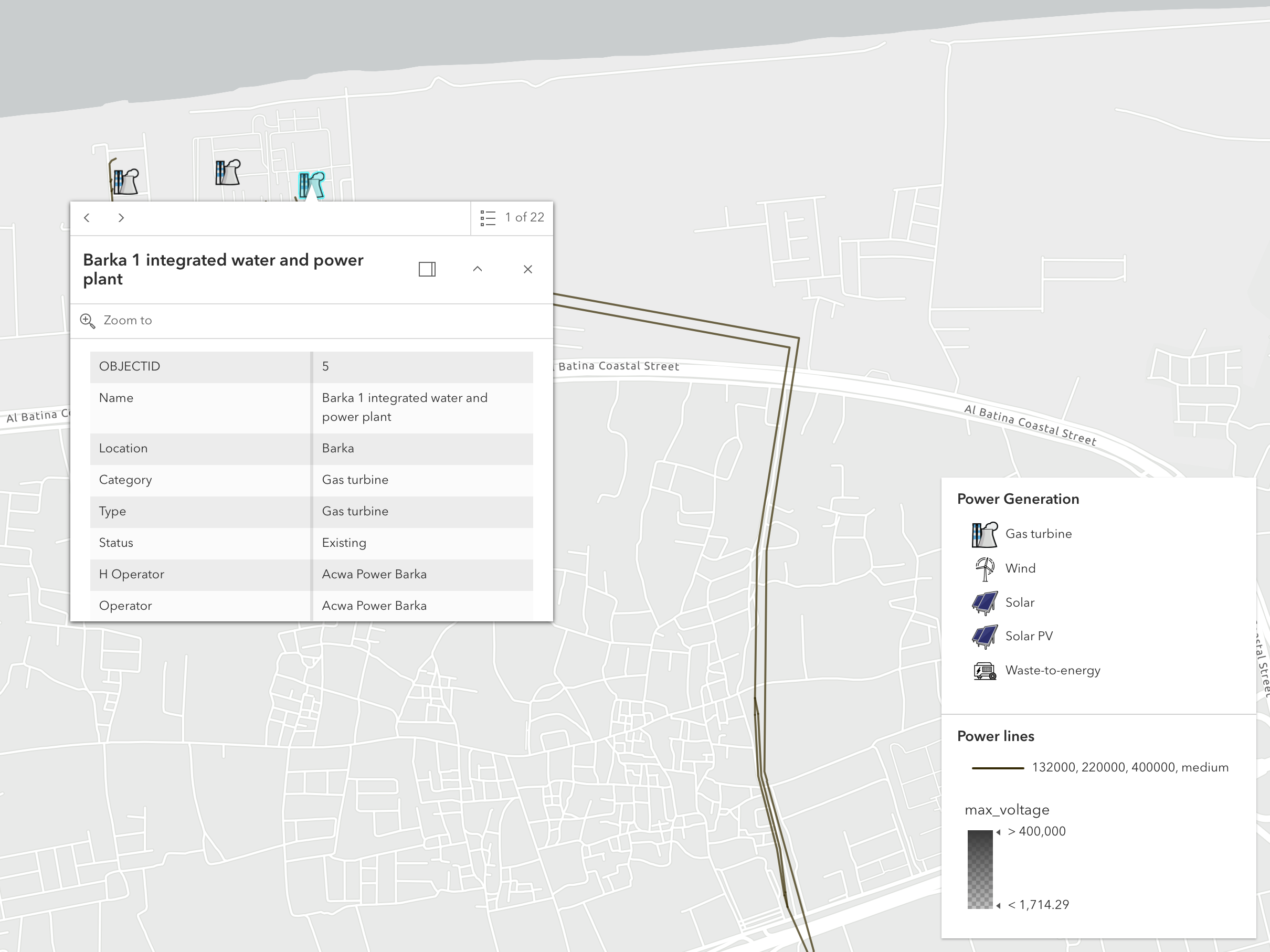
  • Pop-ups offer extensive details
  • View object details in table layout
  • ArcGIS-powered GIS precision mapping technology
  • Customise downloadable images

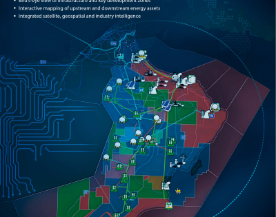
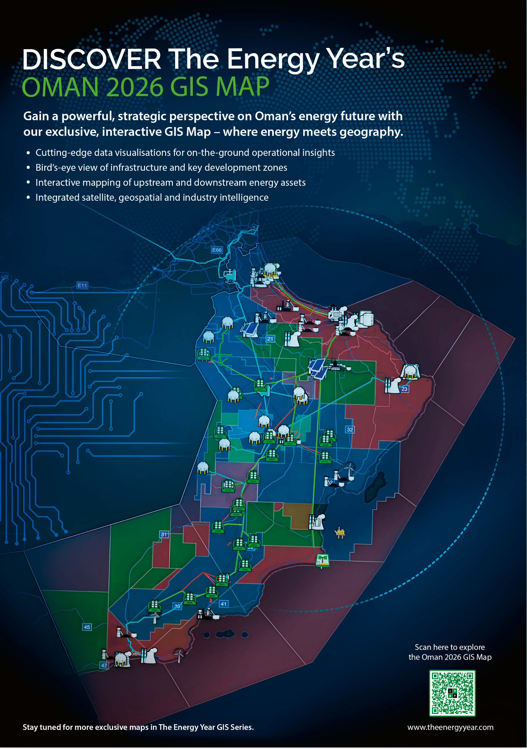
The Energy Year presents the second in its series of cutting-edge interactive maps. This multi-layered precision GIS map of Oman details the country’s energy resources and infrastructure.

Detailed layers show oil and gas blocks, mining assets and blocks, pipelines, ports, electricity generation, electricity distribution and installations across the upstream, midstream and downstream. Satellite or terrain base maps show precise locations and routes of the items covered.

Layers can be switched on and off to change the maps focus while navigation tools permit a smooth exploration of the country’s assets.

The content is updated regularly by our team of researchers, and users can suggest improvements.
You may also like…

  • LinkedIn
  • Threads
  • Twitter
  • Facebook
  • Email

RELATED INTERVIEWS

Latest Maps

  • Screenshot 2026 05 05 at 16.28.08

    The Energy Year GeoMaps: Oman

  • The Energy Year GeoMap UAE 1

    The Energy Year GeoMaps: UAE

  • The Colombia Oil and Gas Licence Areas Map 2025

    Colombia Oil and Gas Licence Areas Map 2025

  • Mozambique Infrastructure Map Pack 2024 Mozambique power generation infrastructure

    Mozambique Infrastructure Map Pack 2024

  • Trinidad and Tobago Oil and Gas Licence Areas Map 2024

    Trinidad and Tobago Oil and Gas Licence Areas Map 2024

ALL MAPS